


Striped Butte is one of the prettiest peaks in Death Valley. It rises out of Butte Valley to a height of 4,744 feet and is not easily accessible to the majority of park visitors. Hence, the reason that it took me 13 years of visiting the park before I finally hiked it for the first time. Because Striped Butte had spent several years near the top of my to-do list, I decided that the best way to see it would be to take a unique approach. Rather than just driving the 4wd road out to Butte Valley, parking at the base of the peak, and hiking up to the top, I wanted to get the full experience. Thus, I came up with the plan to day hike to Striped Butte from Squaw Spring, which is where our group would be staying during our Anvil Spring Canyon backpacking trip in the Spring of 2010. It was a totally unique idea, to do a loop hike to Striped Butte which would allow for a variety of different viewpoints along the way. And everything worked out perfectly. The entire loop was about 15 miles, but that was definitely reasonable as a day hike without a lot of intense climbing or elevation to contend with. I'm really glad that everything worked out so well and our group had such a special day together as we shared this amazing hike and experience. The Google Earth map below shows you a nice perspective of how we did the 15 mile loop hike to Striped Butte from Squaw Spring.


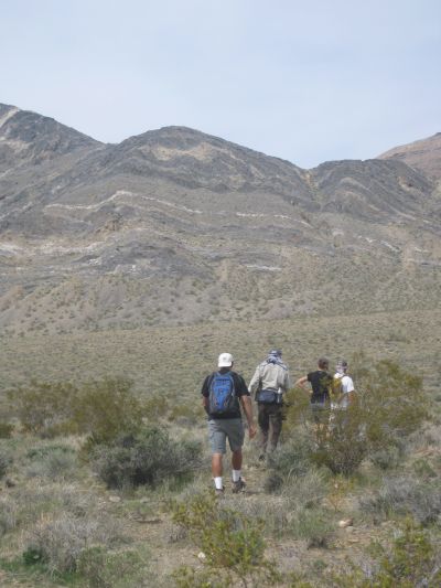


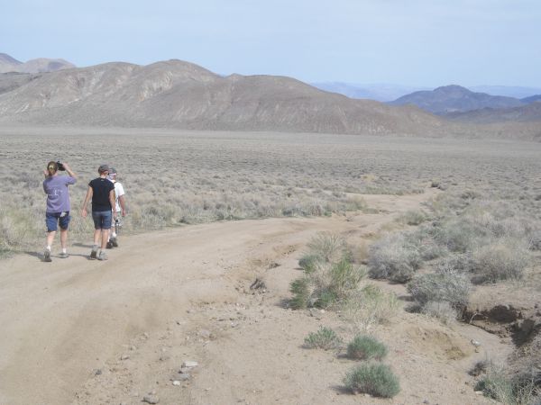


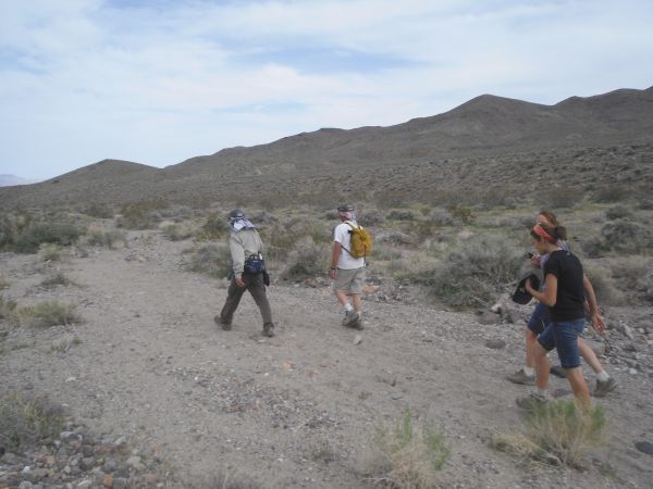


Heading down from Squaw Spring early Saturday morning:
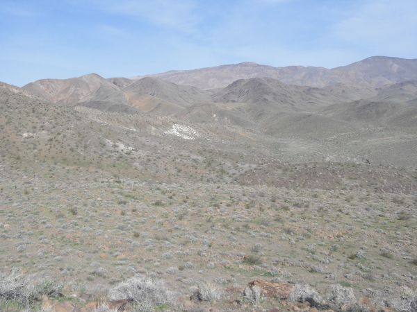
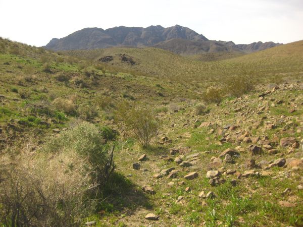
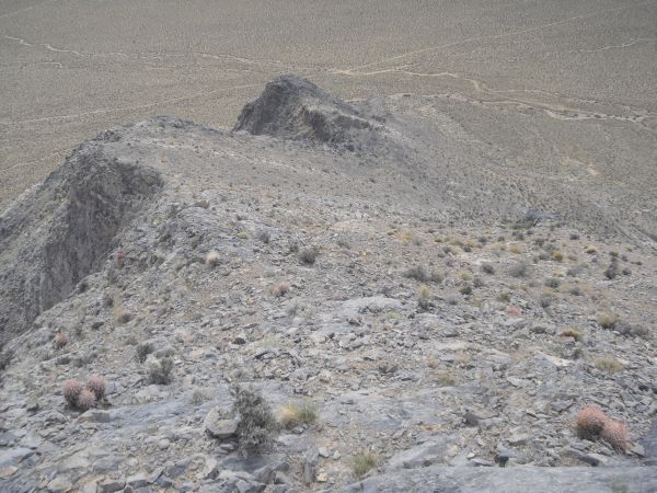
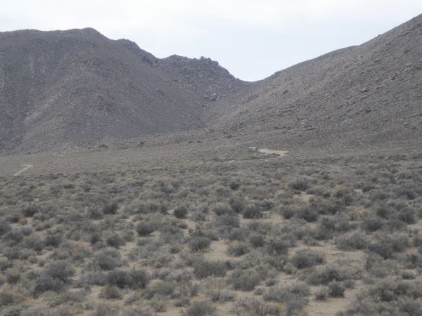
Looking off at the hills (lower ridge) we would have to climb over in order to reach Striped Butte:
We briefly joined Anvil Spring Canyon before turning off into this side canyon:
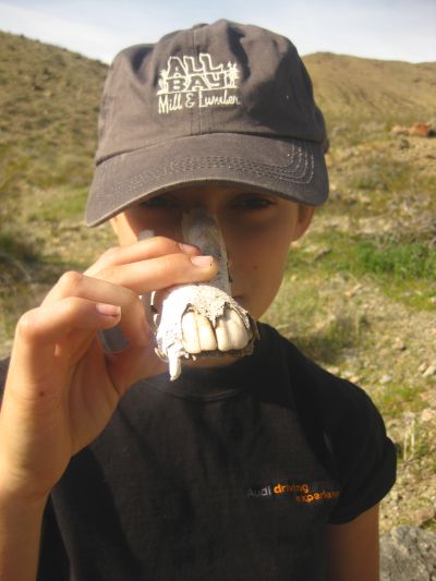
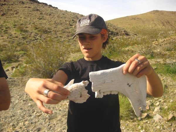
Layla having some fun with bones in the next two pictures:
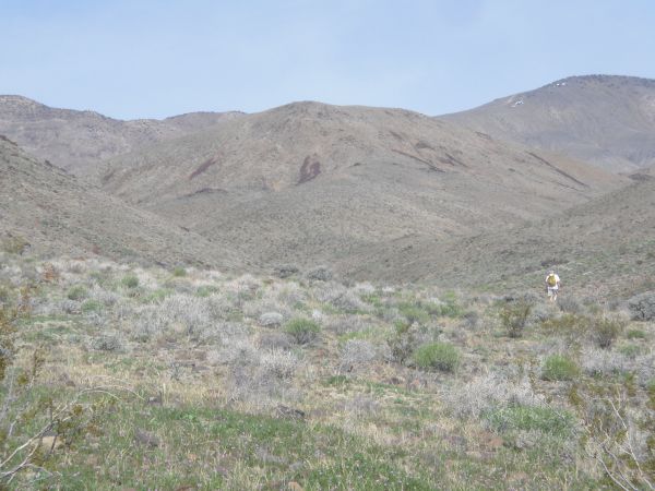
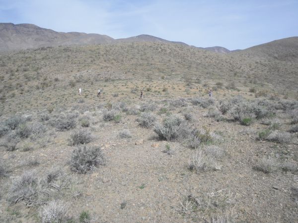
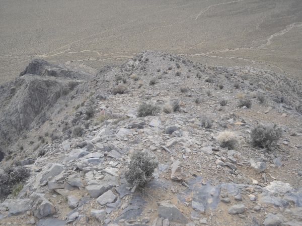
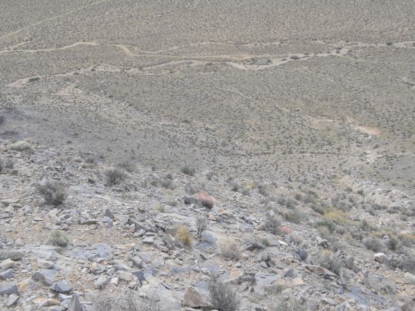
Continuing to head through the hills towards the ridge:
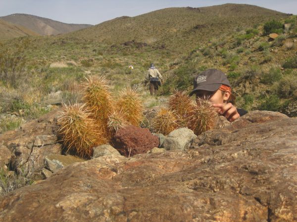
Layla daring to touch a cactus which was growing up on these rocks:
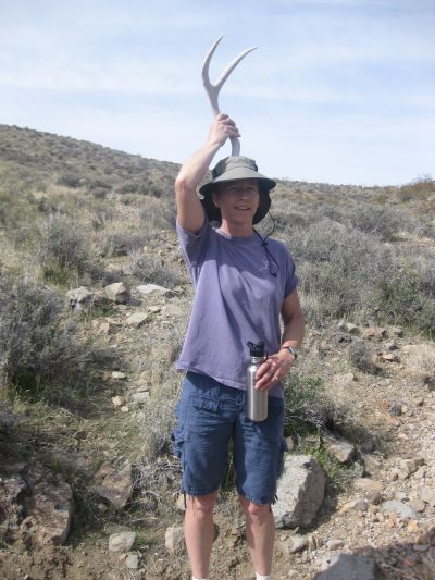
Kathy having some fun with an antler from a mule deer:
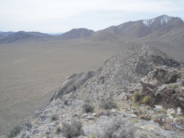
Our group finally reaching the ridge and having their first view of Striped Butte:
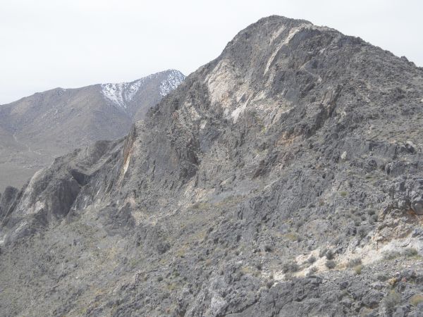
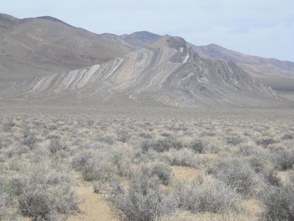
And here it was... a panoramic of our first ever view of Striped Butte from this overlook point on the ridge (click to enlarge):
Zooming it a bit closer to fully appreciate our first view:
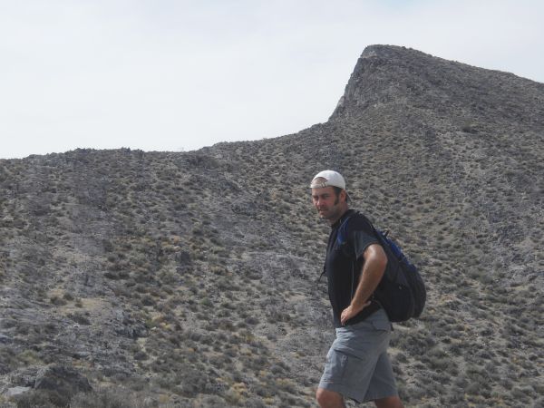
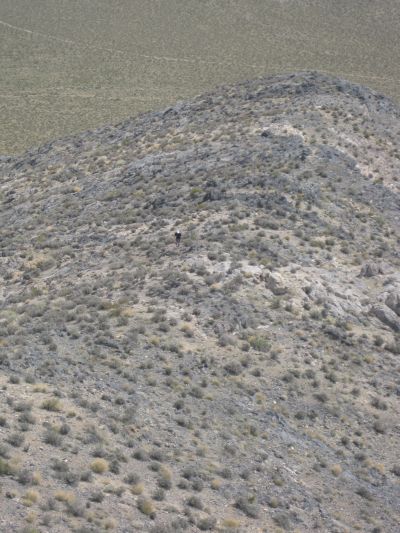
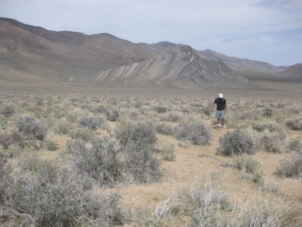
Picture of Steve at the location where he got his first view of Striped Butte:
We are now heading down the other side of the hill we were standing on:
Once we arrived in Butte Valley, the walking was easy on level ground:
Crossing the road which passes through Butte Valley. At this point, Steve M and Layla headed for the Geologist's Cabin, while Shawn, Kathy, and Steve H headed for the summit of Striped Butte:
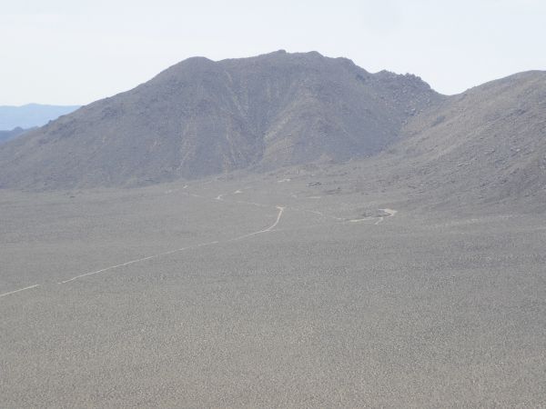
Looking up at the summit of Striped Butte from the point where we crossed the road:
Plenty of burros were out in Butte Valley to keep us company. To our surprise, we also found evidence that burros had summited Striped Butte once we got to the top:
As we were one-way hiking Striped Butte, we started by heading up the rarely climbed northern end:
Shawn and Kathy heading for the small gully on the right side:
As we climbed up Striped Butte, the views became more incredible by the minute:
Looking back down the gully we had used to reach the ridge line:
The intimidating final climb to the summit of Striped Butte:
Climbing up Striped Butte from the northern side is definitely not for the faint of heart or those with vertigo:
Looking across the backside of Striped Butte. No stripes or interesting geology on this side:
Continuing to climb along the ridge line towards the top:
Looking back down on Steve as he slowly makes his way up:
Almost to the summit now, just this final section of climbing:
Another view out into Butte Valley before reaching the summit:
Kathy, Shawn, and Steve reaching the summit of Striped Butte together at 4,744 feet:
This is the view looking north from the summit. The road enters Butte Valley coming from Warm Springs camp:
Looking east across the valley towards the hill which we were standing on about an hour earlier, when we had our first ever view of Striped Butte:
Looking southeast towards Anvil Spring Canyon and Needle Peak:
And this is looking due south from the summit of Striped Butte:
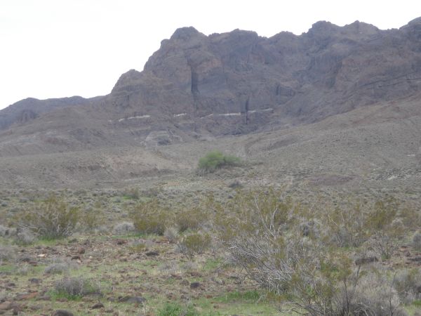
Zooming in a little bit closer to see the roads leading to and around the Geologist's Cabin:
Summit register container. We signed into the register and then sealed it back up:
Shawn and Kathy preparing to descend the southern end of Striped Butte:
Looking back at the summit after starting to head down after them:
The next three pictures were taken as we headed down to the valley by following burro trails. The descent was steep but relatively easy. After all, this is the traditional route that hikers use to access the summit:
Standing on the Butte Valley floor once again and getting a unique perspective of Striped Butte:
Starting to head cross country following a burro trail which led all the way from Striped Butte to the Geologist's Cabin:
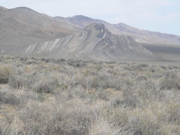
The pretty bands and colors of Striped Butte were finally clearly visible from here:
One more picture of Steve with Striped Butte:
The next five pictures were taken as we continued following the burro trail towards the Geologist's Cabin, occasionally looking back:
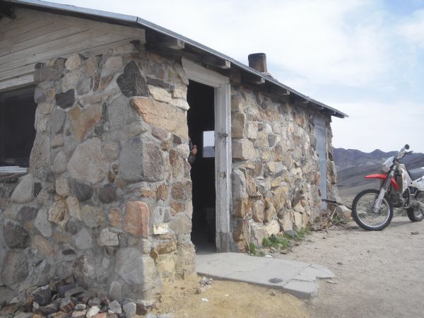
Finally reaching the Geologist's Cabin in the next two pictures and finding it occupied. There were a lot of visitors. At one point, we counted over 20 people hanging around:
A look inside the cabin, which appears to be well stocked and maintained by the regular visitors:
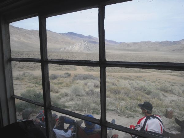
Nice view out the window of Striped Butte off in the distance:
Picture of Layla with Striped Butte in the background taken from the cabin:
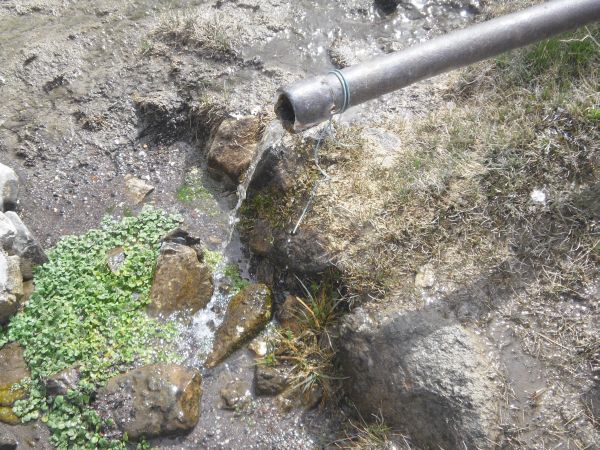
Nice fresh water flowing out of the pipe below the cabin:
Even so, Shawn filtered it for us and we filled our water bottles back up. We were all actually running quite low on water:
Leaving the cabin behind and heading down the road towards Willow Spring:
Our final two views of Striped Butte before crossing over into Anvil Spring Canyon:
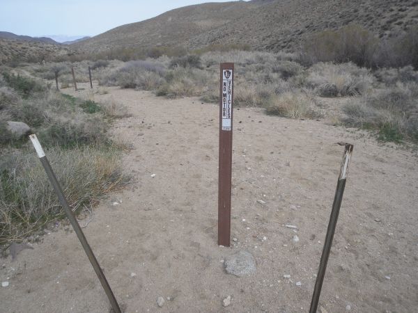
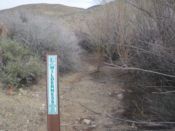
Vehicles are definitely not allowed in Anvil Spring Canyon, as the markers show:
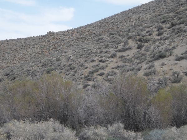
The next four pictures all show views of Willow Spring, which was dry with no water:
Notice how easy it is to walk through Anvil Spring Canyon. The path is very clear:
The next four pictures show our progress as we hiked down Anvil Spring Canyon, past Fivemile Spring, and headed for our camp at Squaw Spring:
One final picture of Layla as our amazing hike was completed: