
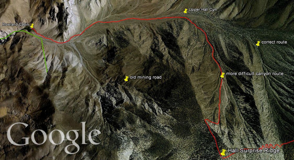
This report is the fourth and final part of a 4-part series of reports covering our May 2012 backpacking trip through the Panamint Mountains. On Day 1, we had hiked from Lower Surprise Canyon to Middle Hall Canyon. On Day 2, we hiked over to Jail Canyon and fully explored everything we could find there. And that brings us to Day 3, which is covered in this report. On this morning, we woke up early at our camp at the Rowland Cabin in Middle Hall Canyon (elevation 4,500 feet), packed up our tents and gear, and backpacked out. We hiked a little over 2 miles farther into Upper Hall Canyon. The extremely rare views of Telescope Peak that we had were once again incredible. It was simply awesome to be hiking ever closer to the base of Death Valley's grandest peak, watching it grow bigger before our eyes. The streaks of color and rock patterns crossing Telescope Peak were vividly on display. After a couple of miles, we reached timberline at an elevation of 5,750 feet. In this area, I found a beautiful small grove of Joshua trees which I was able to take some pictures of. It was at this point that I made my major mistake for the trip. I directed our group to head south into the nearest side canyon. Since we were trying to reach Panamint City from Hall Canyon, we needed to attain the ridge and connect with the end of the Sourdough Canyon Road. This is a hike that very few people have ever done, and there are currently no reports on the internet of groups accomplishing this. What I didn't realize until many hours later was that we were actually one side canyon to the west of the planned (and much easier) side canyon that I had intended for us to hike. This mistake resulted in much steeper terrain, many more difficult obstacles to contend with (such as a wash full of logs and small areas of climbing), and gaining extra unnecessary elevation. The climb up to the Hall-Surprise Ridge was extremely difficult and safe to say my group was very unhappy with me for leading them through such challenging terrain. But the views were excellent, and as I explained to my group, it is overcoming challenges like this that makes time in Death Valley more memorable. We did finally attain the ridge, which at 8,600 feet was nearly 3,000 feet above Hall Canyon. And then we encountered an even more difficult obstacle. Walking along the ridge, we came up on a section that literally dropped off and was frightening to look down at. It was a section that we would have to work our way down in order to continue. Thus, Shawn and I alternated choosing routes that looked the safest for the group, as we slowly but surely began dropping down to the saddle we could see from above. Along the way, we found a lost mine and some old relics, which included a horseshoe and buckle from the early mining days. A while later, as the sun began setting, we finally connected with the end of the Sourdough Canyon Road and made our way down to Panamint City. Despite nearly running out of water, having thoughts of not being able to make it, and some of the hardest terrain imaginable, we arrived in Panamint City. In view of everything we had been through, we ended up being too tired to set up camp for the night. Thus, we did something which I thought I would never do again-- we slept overnight in the Panamint Hilton. (Note: click on the Google Earth route maps below to enlarge them for better viewing.)

Leaving the Rowland Cabin just after sunrise and heading further up Hall Canyon:

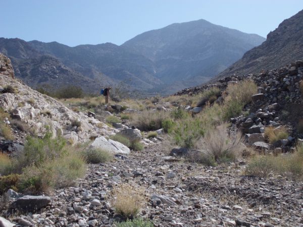
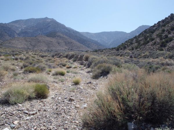
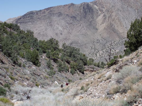
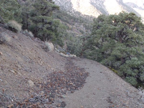
A burro trail led us through the canyon. During this first part, we were heading toward the side canyon which has a mine and old mining road, although we did not explore it on this trip:

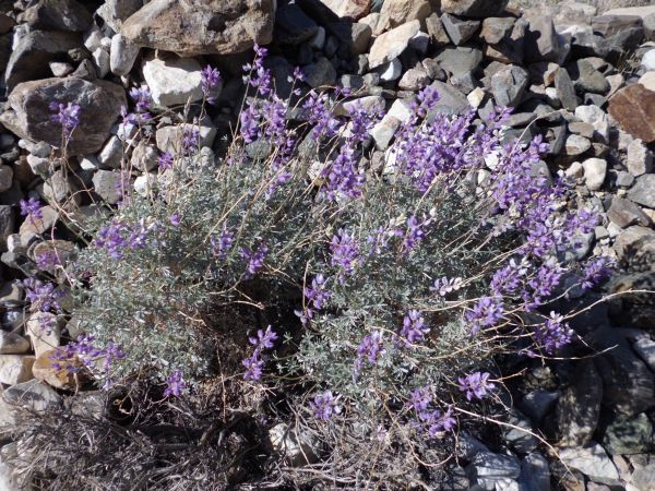
The flowers were few during the Spring of 2012, but there were a few pretty ones:

Looking back down toward the spring at our camp for the past two nights:
Tobin leading the way along the burro trail. I would hike at the back of the group most of the time, stopping frequently to take pictures:

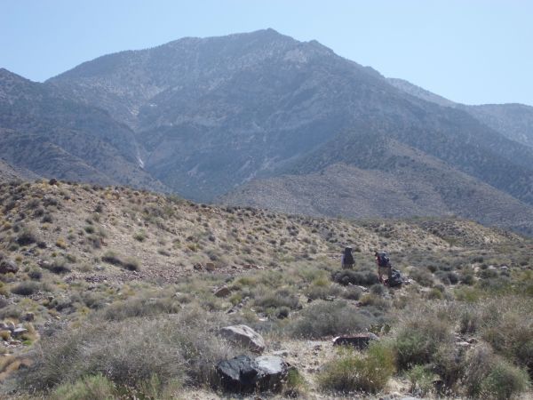
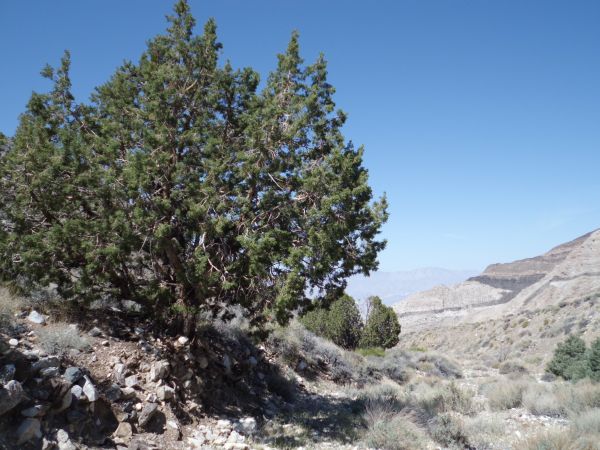
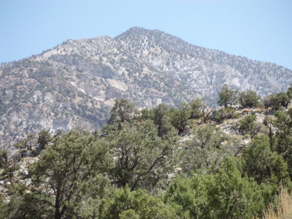
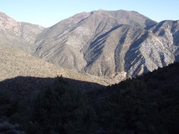
An imposing view of the western face of Telescope Peak dominated the canyon:
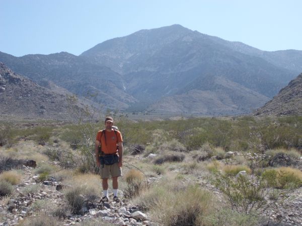
Steve backpacking with Telescope Peak in the background:
We came across the old boundary signs of Death Valley National Park in Upper Hall Canyon:

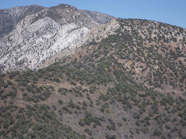
Jagged colorful ridges off to the left while we hiked up canyon:
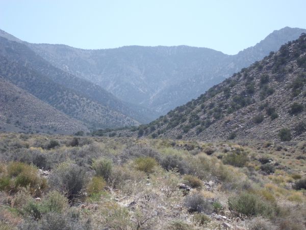
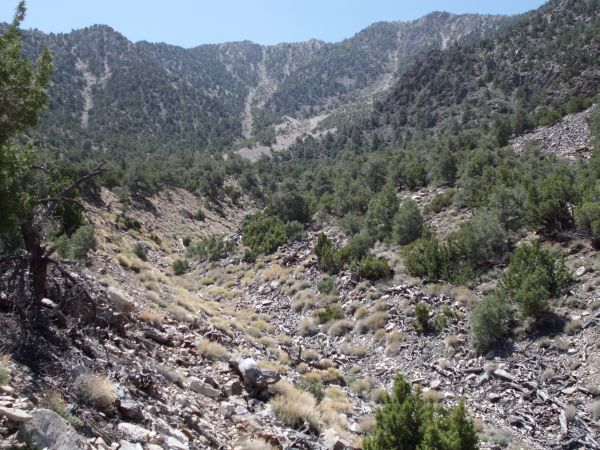
Looking back down canyon we could see that we were slowly gaining elevation:
Our group reaching an embankment and following it to the right. If you follow the side canyon to the left up towards Telescope, you can see that a major dry fall blocks passage in the canyon. The summit of Telescope can only be reached by hiking along the ridges:
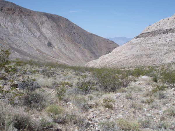
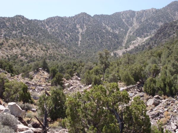
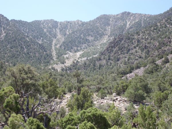
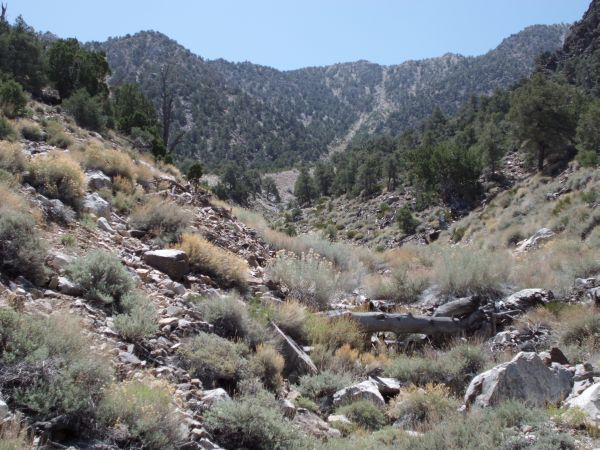
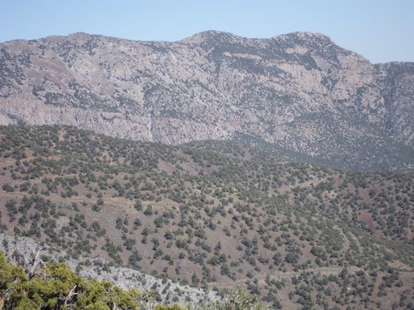
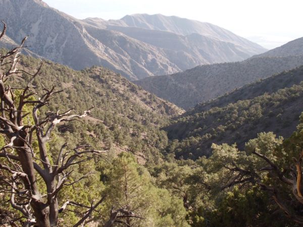
Upper Hall Canyon is a fairly wide canyon with high cliffs all around and a headwall at the back:
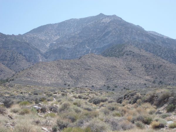
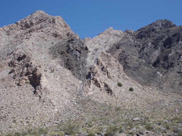
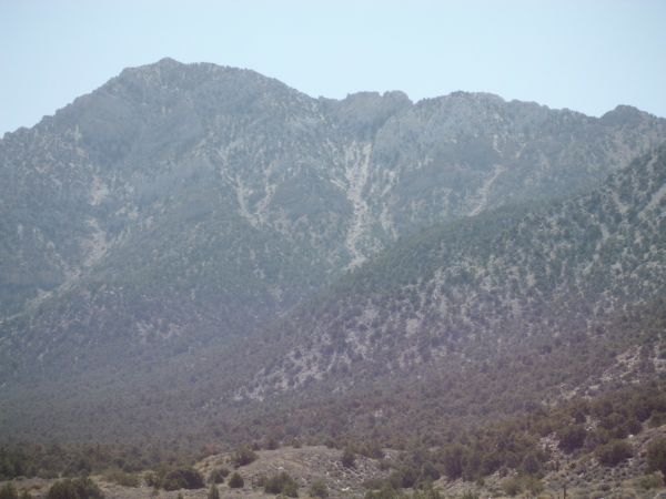
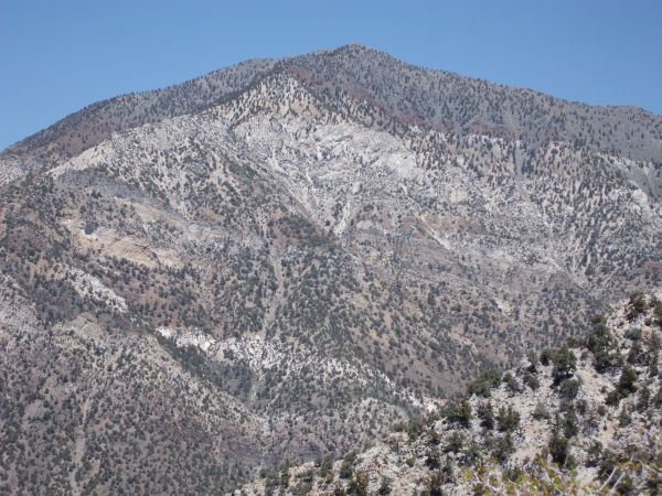
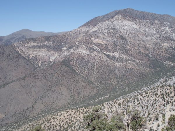
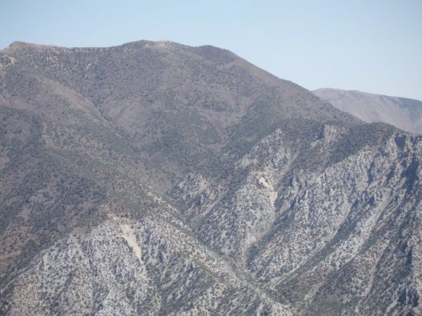
The dominant feature, of course, is Telescope Peak. A section of Telescope Peak drops down from the mountain and stretches down Hall Canyon:
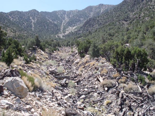
The burro trail continued to lead us through the wash for the most part:
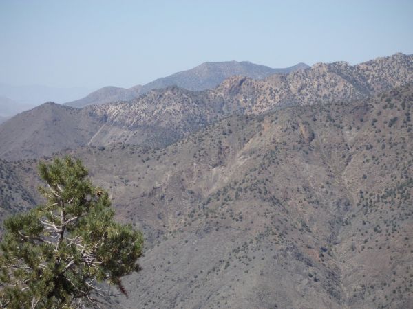
As we looked back down canyon, we could see better views of the Argus Range:

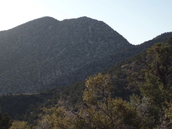
We also took note of these colorful cliffs above Hall Canyon:
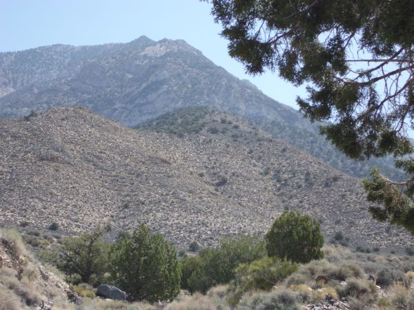
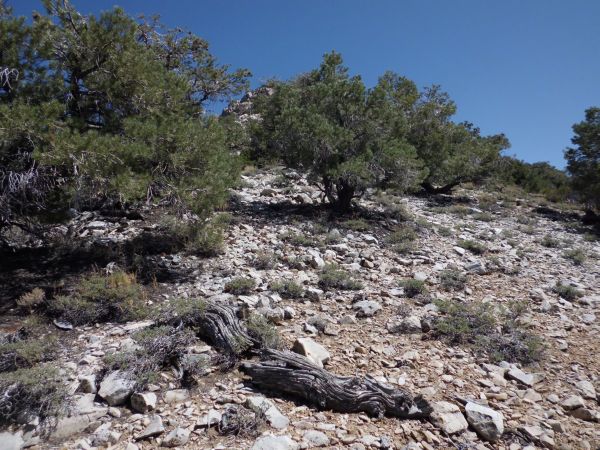
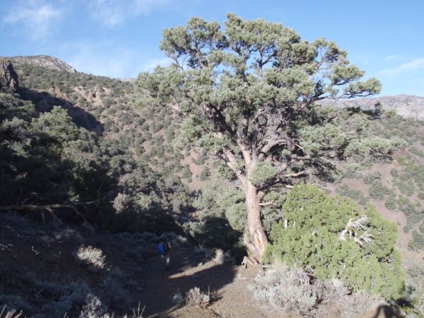
Finally reaching timberline and the shade of trees, very helpful on a hot morning:
We found quite a few large trees in this area down by the wash of Hall Canyon:

This was pretty much as close as we would be getting to Telescope Peak on this day:
A panoramic showing Upper Hall Canyon (click to enlarge):
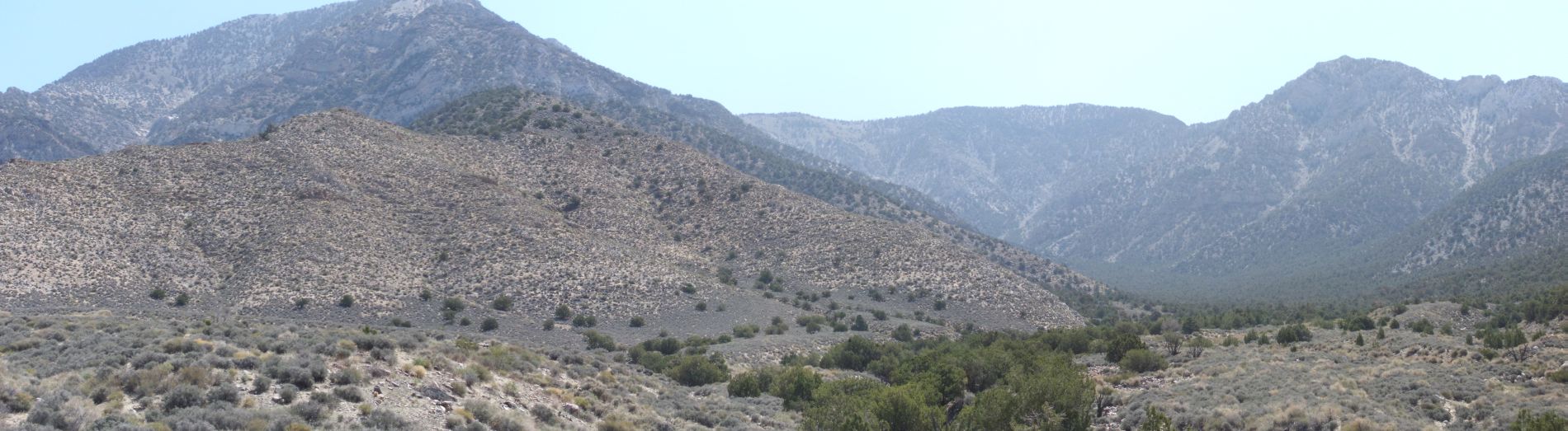
While the left side of Upper Hall Canyon is dominated by Telescope Peak, the right side features the ridge above Water Canyon:
In the midst of Upper Hall Canyon, we came across this small grove of Joshua trees. It was totally unexpected:
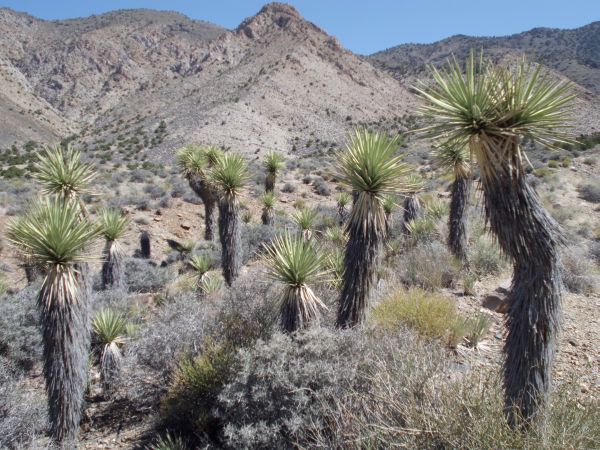

Three more pictures of the Joshua trees below Telescope Peak:


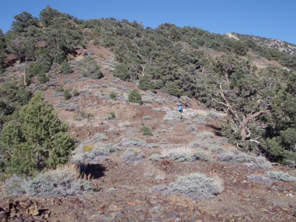
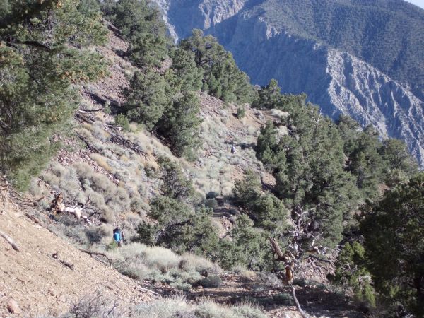
At this point, we headed up the (wrong) side canyon to try to attain the Hall-Surprise Ridge:
From down below, the route to the ridge looked a lot steeper than what I had remembered from my planning:
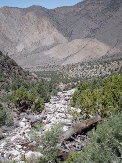
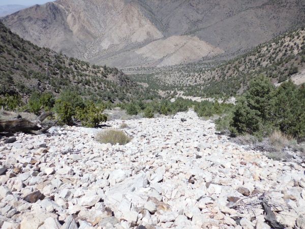
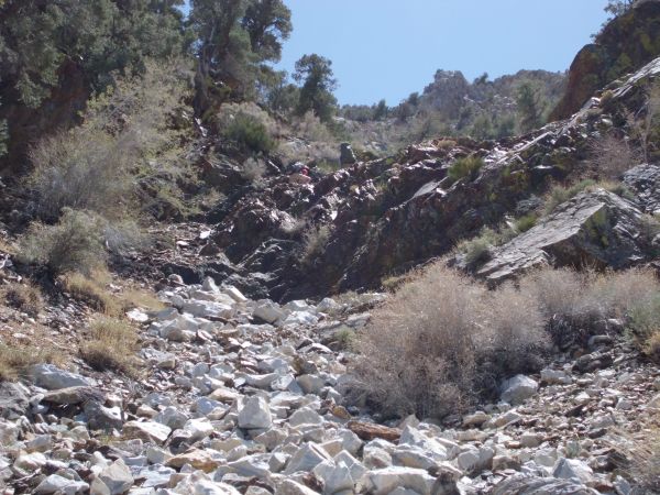
The main wash heading up to the ridge was littered with huge logs. The going was so rough that we had to hike above the wash:
We decided to head for the saddle seen on the top right of the picture:
The going was also difficult above the wash because the trees were so thick. Thus, some of us dropped back into the wash:
Here we are back down in it, having to contend with logs, rocks, and overgrown brush:
This was nasty hiking, offset only by the nice views of Telescope Peak:
Tobin and Kathy following me up the wash. Tobin and I stayed in the wash, Kathy alternated between the wash and hiking above it, and Shawn stayed above it the whole time:
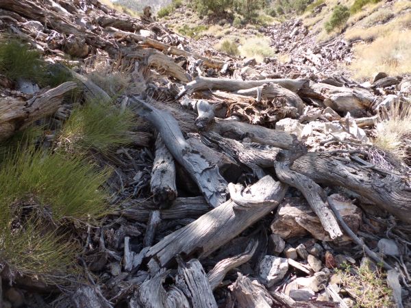
A typical section of hiking in the wash. Filled with logs on a scale that I have never seen in Death Valley:
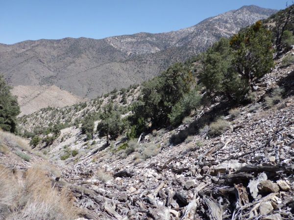
Looking back down at the massive amount of logs and branches:
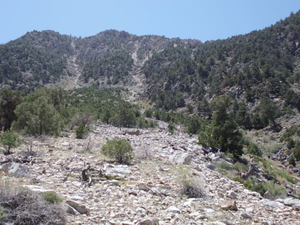
Back above the wash now, we were targeting the rockslide area seen on the right:
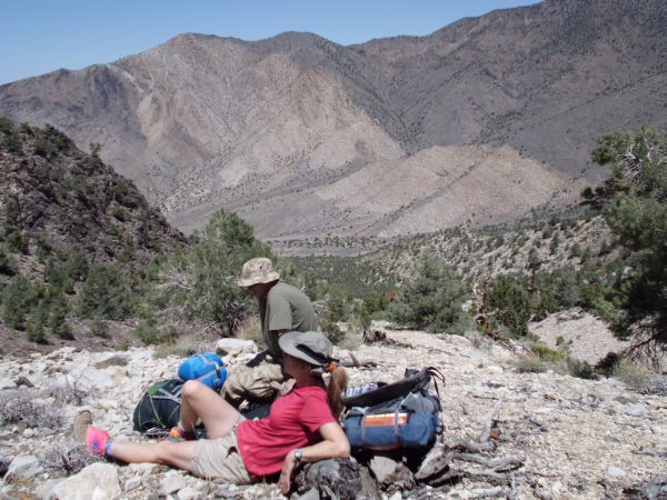
Kathy and Tobin taking a much needed break:
We headed straight toward the slide area seen in the middle:

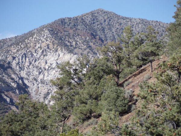
In the afternoon sun, the colors of Telescope were really beautiful:
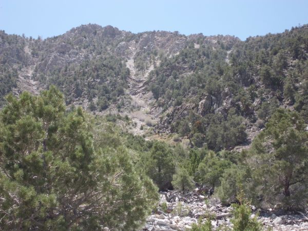
The hike got quite a bit steeper the farther up we hiked:

For some reason, the pictures don't do justice to how steep this area really was. Hiking was very, very slow:

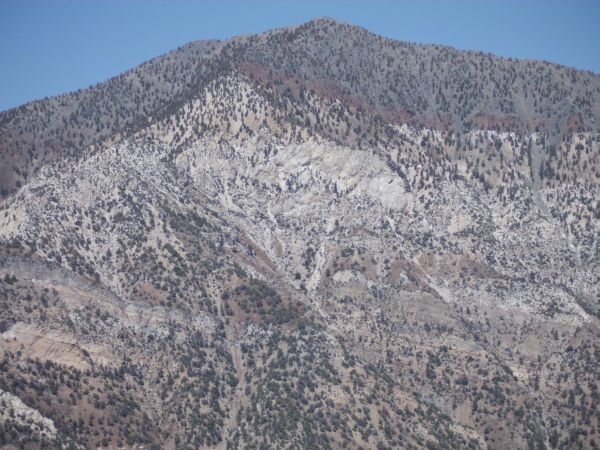
Notice the bands of white, red, and green across the western face of Telescope Peak:
This perspective gives a better view as to the extreme difficulty of hiking up this side canyon. These rocks we were hiking on were loose and constantly had us slipping:

Shawn and Kathy wondering if we were ever going to make it to the ridge:
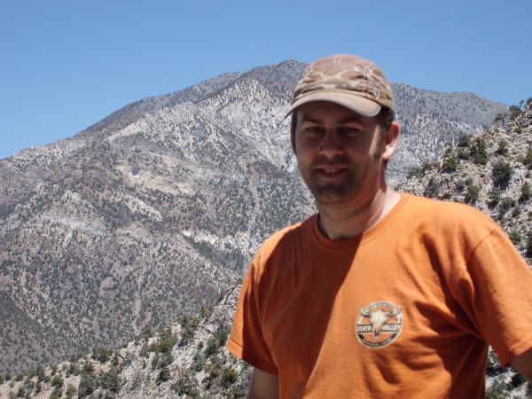
Steve still smiling with Telescope Peak in the background:

We got so high in elevation that a view of Bennett Peak was visible:
But Telescope Peak remained the focal point every time we stopped for a breather:
Things kept getting steeper and harder as we climbed the slide area seen earlier:

In the next three pictures, we are working our way through the minor climbing area:


We were now far above Hall Canyon as we neared the ridge:
Looking straight down into the upper reaches of Hall Canyon:

A picture perfect view of Telescope Peak from a very unique spot in Death Valley:

Once again looking over at Bennett Peak (9,980 feet in elevation):
From this spot, we could also see Pinto Peak (7,508 feet) off in the distance:

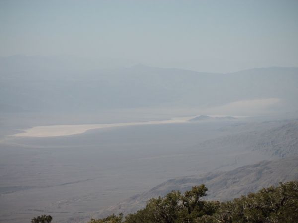
Then we finally made it up to the ridge and could see down into Panamint Valley:
Zooming in on Panamint Dry Lake, Lake Hill, and the Panamint Sand Dunes:
Once safely on the ridge, we sidehilled around to the right to avoid hitting a summit bump:
Looking due west into Panamint Valley toward the Argus Range:
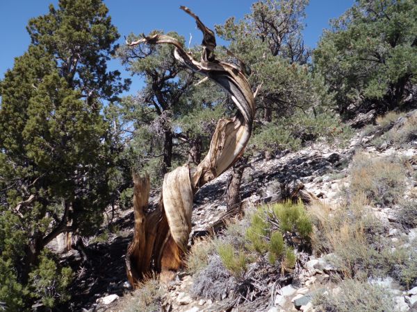
A twisted tree still standing along the ridgeline:
As we circled around the hillside, a view of Sentinel Peak became visible:
We could also see all of Marvel Canyon and the tailings of the Hemlock Mine:

Looking due south across the bumps of the Panamint Range:


Tobin pointing out the area where we had been hiking one year earlier, across on the Happy-Surprise Ridge:
The upper portions of the Sourdough Canyon Road finally became visible as we finished circling around the hillside:
Kathy looking across at the next bump we were headed for:


Passing by the opening of an unknown mine high up on the ridge:
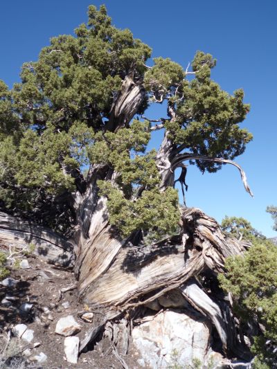
A huge twisted tree standing tall along the ridge:
Yes, we really did come up the side canyon seen below which connects with Hall Canyon:

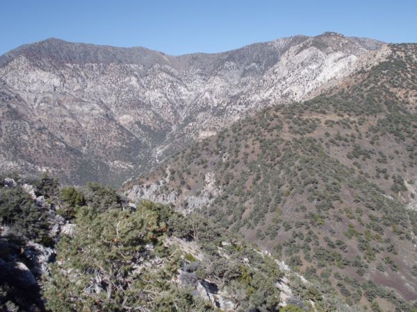
Upper Hall Canyon as seen from the ridge we were walking along:
The end of the Sourdough Canyon Road was so close, but so far away, as we were soon going to find out:

When we reached the final bump that Kathy had been looking at earlier, we were dismayed to walk up on a huge drop-off. We thought we might get stuck here, as we needed to reach the saddle seen far below us:
The key for us in getting down was to take it one section at a time. We would try to get from point to point with a combination of sliding, downclimbing, and holding on to anything we could:

We managed to survive the drop without getting hurt. Here we are looking back up at the part we came down:


In this general area, we found some old mining relics which were very interesting:
We soon began heading up what would be the final portion of uphill for the entire trip:
Huge trees dotted the hillside all through this area:

Finally... we made it to the road. This is the end of the spur road which drops off of Sourdough Canyon Road:
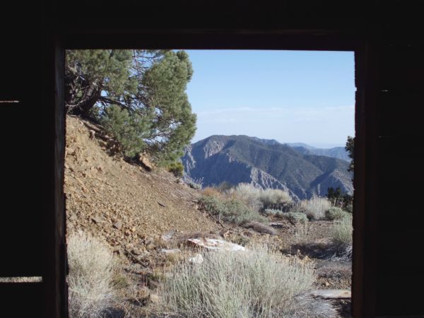
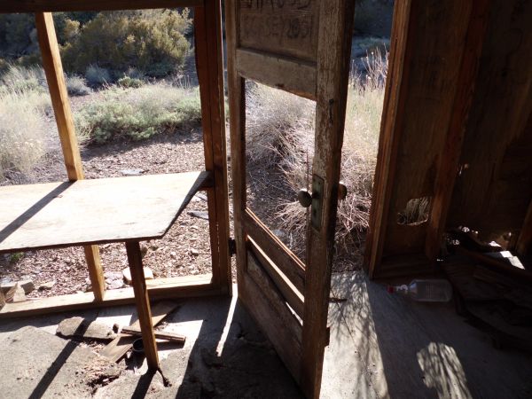
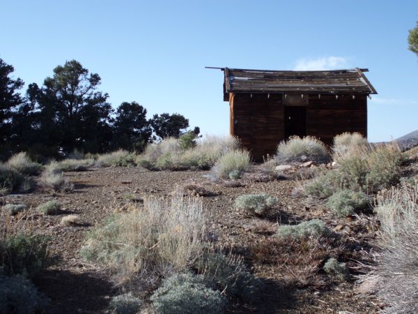
We started hiking the road and soon were approaching a cabin that I had never been to before:
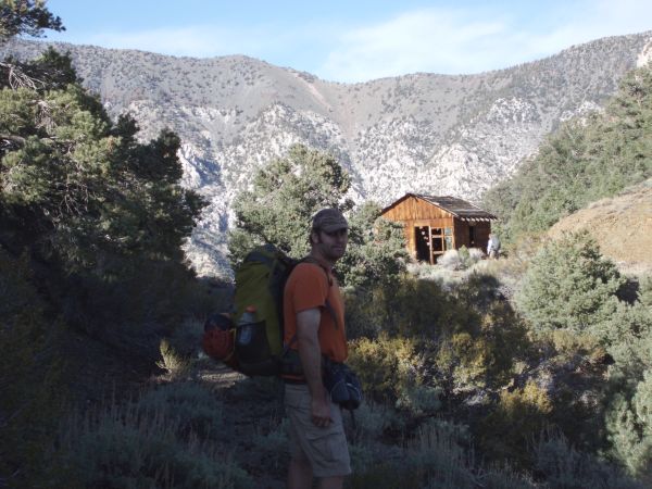

Steve and Kathy posing outside of the cabin before exploring it:

Five more views inside and outside the cabin, which has an amazing view:

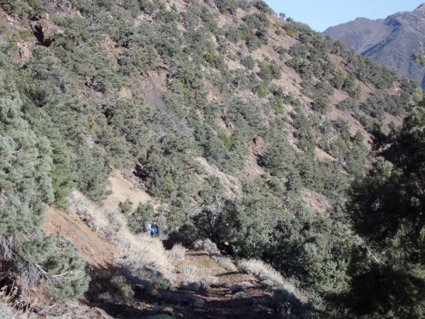
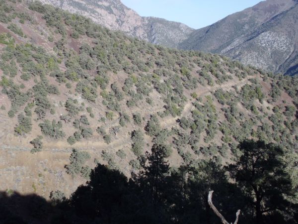
Time to continue hiking down Sourdough Canyon Road. We had over 2,000 feet in elevation to drop to reach Panamint City:
Various branches of the road could be seen, but we stayed on the main road:

Hiking steadily downhill as we headed for Sourdough Canyon:
We soon could see an amazing view of Panamint Pass:

A luxuriant tree growing along the road:
The path continues leading the way around the mountainside:
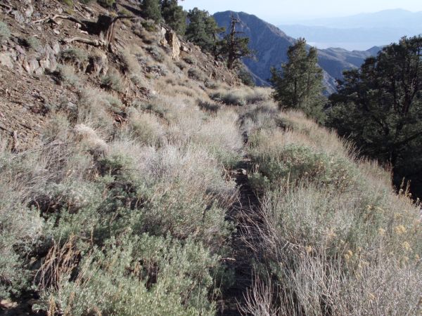
The biggest challenge on the upper reaches of the Sourdough Canyon Road was dealing with the overgrown brush which was cutting our legs and being hard to deal with:
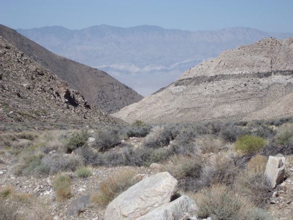
View down one of the minor canyons dropping into Surprise Canyon:
This picture shows the difficult drop that we had to overcome earlier to get to the final saddle before the road:
The sun began setting and casting shadows over Sourdough Canyon as we rounded the bend:

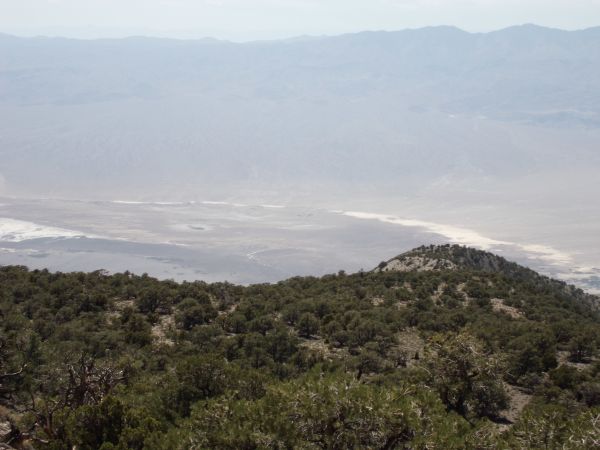
Panamint City was now visible far below in bright sunshine, but not for long:
This part of the Sourdough Canyon Road was much easier to hike on, as there was less brush:
Final view of Steve above Panamint City. This was yet another great Death Valley adventure, on my final trip to the park before becoming a father: